The Challenge
The project required the collection, management, and integration of high-accuracy geospatial data across multiple development sites while maintaining consistency, precision, and scalability. Challenges included surveying large geographic areas, handling complex terrain conditions, ensuring data integrity for engineering applications, and seamlessly integrating survey, GIS, LiDAR, and BIM datasets into a unified digital environment to support infrastructure planning and development activities.
Our Solution
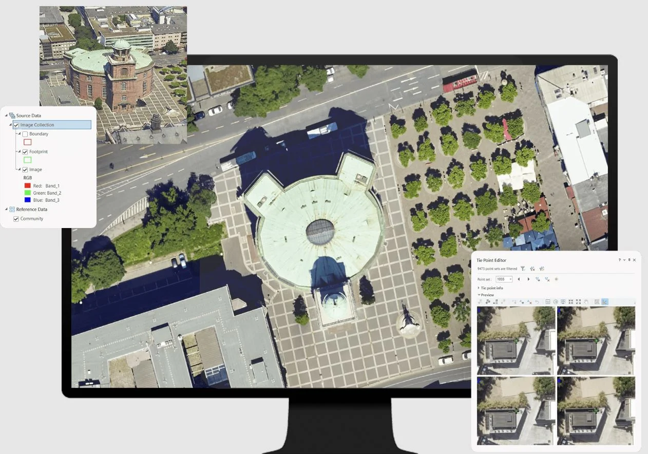
Alada Solutions delivered a comprehensive geospatial mapping and surveying strategy utilizing advanced GNSS surveying, LiDAR scanning, drone photogrammetry, GIS mapping, digital terrain modeling, and BIM integration. The solution incorporated high-precision topographic and boundary surveys, geospatial data processing, spatial analysis, terrain modeling, and digital workflows that enabled accurate data capture, efficient processing, and seamless integration across engineering, planning, and construction platforms.
The Results
The project successfully delivered high-accuracy geospatial datasets and BIM-ready terrain models that accelerated planning, design, and infrastructure development activities. Advanced surveying technologies reduced data collection timelines, improved decision-making through GIS-based analysis, and established a reliable digital foundation for land development, utility planning, and engineering design. The scalable geospatial framework supports future expansion while ensuring consistent accuracy and operational efficiency across multiple project sites.