Our Key Services
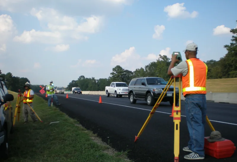
- Land & Engineering Surveying
- As-Built & Scan-to-BIM Services
- GIS Mapping & Spatial Intelligence
- Government, County & Council Surveys
- Utility & Subsurface Mapping
- Drone Surveying & Aerial Mapping
- Hydrographic & Environmental Surveys
- LiDAR & Advanced Reality Capture
Integrated Expertise Across Technologies
Field to Digital Integration
Advanced Geospatial Intelligence
BIM + GIS Integration
Cloud & Digital Platforms
End-to-End Workflow Process
- Project Planning & Design
- Data Acquisition
- Data Processing
- Analysis & Modeling
- Delivery & Integration
- Real-Time Collaboration & Reporting
Latest Technologies We Use
LiDAR Technology
RTK Drone Surveying
AI-Powered GIS Analytics
IoT Smart Sensors
AR / VR Visualization
Digital Twin Platforms
Our Technical Approach
- Precision-First Field-to-Digital Data Capture
- Integrated LiDAR, Drone & Reality Capture Workflows
- GIS-Driven Spatial Analysis & Intelligence
- Scan-to-BIM & Digital Twin Delivery
- Cloud-Based Collaboration & Real-Time Reporting
We deliver intelligent geospatial and surveying solutions that combine precision, technology, and spatial intelligence to support smarter infrastructure and sustainable development.