Texas continues to lead infrastructure growth, urban expansion, and large-scale development initiatives across the United States. As demand increases for transportation networks, land development, utilities, and smart infrastructure, engineering teams are leveraging advanced digital technologies to improve project delivery and long-term performance.
Modern engineering projects increasingly rely on BIM, GIS, Scan-to-BIM, and Digital Twin technologies to enhance planning, design coordination, construction efficiency, and asset lifecycle management. These technologies are creating smarter, more connected infrastructure ecosystems throughout Texas.
Project Spotlights Across Texas
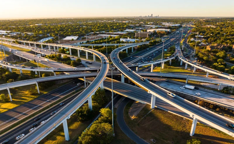
Lone Star Regional Infrastructure Corridor
Corridor alignment, roadway design, drainage systems, GIS planning, and BIM coordination supporting long-term regional connectivity.
Austin Ridge Master Planning
Multi-phase land development featuring lot optimization, grading design, utility planning, and BIM-based construction sequencing.
Houston Greenfield Development
Large-scale infrastructure planning with flood management, hydrological analysis, roadway systems, and BIM-GIS integration.
Dallas Digital Twin Initiative
Digital Twin implementation supporting real-time infrastructure monitoring, lifecycle analysis, and predictive maintenance.
San Antonio Scan-to-BIM Program
Reality capture, laser scanning, LiDAR processing, and BIM conversion for redevelopment and modernization projects.
Texas Survey & GIS Integration Program
Survey support, geospatial analysis, terrain mapping, and GIS integration creating a foundation for infrastructure planning.
Digital Engineering Integration Across Projects
Across all projects, advanced digital technologies create a connected ecosystem that improves design accuracy, collaboration, construction planning, and lifecycle management.
BIM Coordination
GIS Planning
Scan-to-BIM
Digital Twin Technology